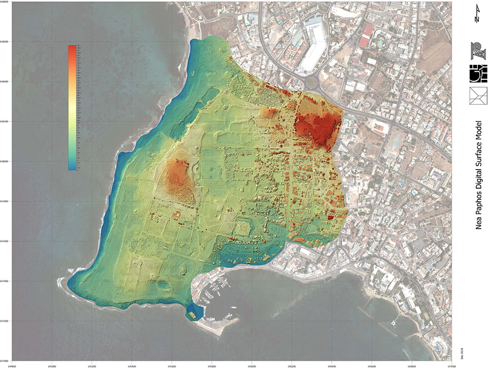
Documentation and Mapping
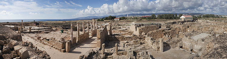
Due to its complexity and expanse, Nea Paphos has not had a detailed and complete site map, relying instead on individual area plans created by different excavators over many decades.
To remedy this, we are undertaking comprehensive mapping and inventorying of all three parts of the site using:
drone photography,
laser scanning, and
photogrammetry.
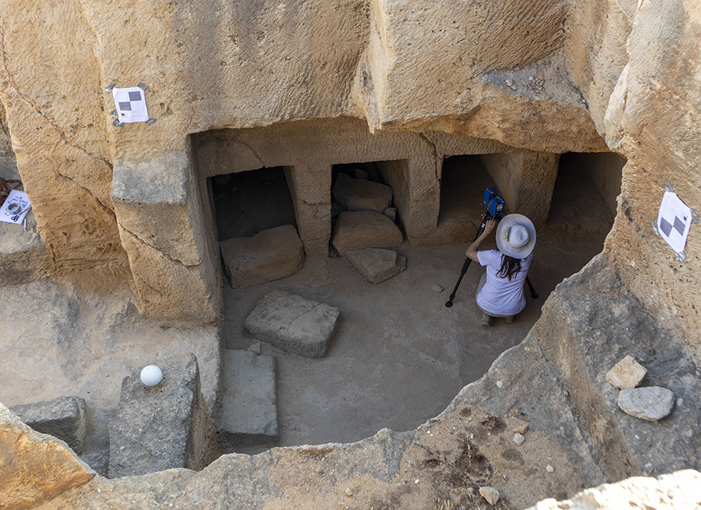
This work will capture all buildings and features at the site, including the extensive rock-cut underground chambers in the Fabrika Hill area and the Tombs of the Kings. In addition to mapping, new photography will also be commissioned of the site's most significant mosaics.
A GIS (geographic information system) is also being developed incorporating the mapping, inventoried buildings, and other site elements, as well as key information about the site's mosaics and other pavements and decorative elements. This will be used for management, conservation, and research purposes and will assist in conservation planning. It will also be an ongoing resource for the work of the Department of Antiquities.
Photos: Carleton Immersive Studio for the Getty Conservation Institute